Mapping peatland
condition at scale, one pixel at a time.
Ireland's peatlands are degraded and under pressure. Now you can see where, why, and you can know what to do about it.
AI2Peat, a remote sensing and AI-powered peatland condition platform, delivering reliable and actionable environmental intelligence at any scale, anywhere, at any time. AI2Peat's assessments are aligned to the Peatland Finance Ireland's standard for Ireland.
“We don't inherit our planet from our ancestors, we borrow it from our future generations.”
Our Partners


Peatlands are wetland ecosystems found on all continents. They cover 3% of global surface, yet they store double the carbon stored by all forests combined : 20% of surface land area. Peatlands provide a range of important ecosystem services to society. In addition to carbon storage and sequestration, they also regulate water resources by storing and filtering water, which helps to maintain water quality and mitigate drought and flooding. Furthermore, they support many rare and specially adapted flora and fauna, ranging from the tiny insect-eating Sundews to the sky-dancing Hen Harrier. Peatland biodiversity is vital as complex interactions between species and their habitats underpin global climate systems and local processes such as water quality and pollination.
About 23% of Ireland is covered by peat, yet it is estimated that at least 80% of them are in bad condition. The related negative impacts environmental, social and financial are now becoming undeniable.
Continuously knowing the condition of our peatlands is the necessary requirement towards restoring them. AI2Peat is here to make this available to anyone.
What we do
We combine remote sensing, artificial intelligence and ecological expertise to infer aspects of peatland condition at any scale : from local site to national level, from weekly updates to seasonal to multi-year.
We provide bespoke assessment at a click, putting the power of remote sensing, AI and ecological expertise directly in the hands of the people who need it most.
“Mapping peatland condition at scale, one pixel at a time.”

What we offer
AI2Peat delivers on-demand services built on remote sensing and AI : giving landowners, agencies, and researchers reliable peatland intelligence at any scale, anywhere in Ireland.
Remote sensing-driven, AI-generated maps : anytime, anywhere.
We leverage Earth observation data from 2017 to the present, enabling temporal trend analysis and forward-looking forecasts. Our models generalise across different geographies and are deployed on a computational platform built for quick and cost-effective inference. Every output is rigorously validated through manual expert review before it reaches you.
↗ Learn more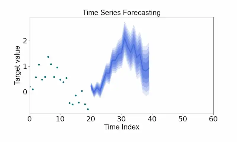
Hydrology analysis.
Our Specific Yield on-demand service enables you to understand how your bog responds to rain events, in accordance with Peatland Finance Ireland's standard for Ireland.
↗ Learn more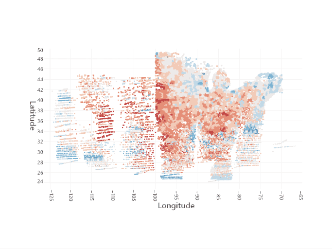
GHG Emission estimation.
Our GHG emission estimation on-demand service enables you to estimate GHG emissions on raised bogs, in accordance with Peatland Finance Ireland's standard for Ireland.
↗ Learn more
On-demand computation.
If you have in-house expertise and simply need our maps, our on-demand inference is one click away. Access our models directly, on your terms, without any overhead.
Coming soon
Bespoke condition mapping.
Don't see what you need? We build it with you. Through continuous engagement, we develop new capabilities tailored to your specific needs whether that means a new condition indicator, a new geography, or an entirely new analytical approach.
↗ Request a serviceBuilt for everyone who cares about peatlands
From national agencies to individual ecologists, AI2Peat gives every stakeholder the intelligence they need at the scale they work at.
Conservation bodies & NGOs
Monitor restoration progress and identify arising pressures at scale — without waiting for costly fieldwork campaigns.
Government & regulators
Meet obligations under the EU Habitats Directive, the Nature Restoration Law, and the UN Paris Agreement with reproducible, auditable spatial data.
Researchers
Access reproducible, science-backed spatial data aligned to recognised standards for publication and cross-study comparison.
Ecologists
Strategise and plan your work based on our quick scan at scale — prioritise field visits where they matter most.
Carbon farming & nature capital investors
Quantify restoration and GHG sequestration potential, and de-risk investment in peatland assets with independent remote-sensing evidence.
Wind energy & infrastructure developers
Get a deep insight into peatland condition before deciding your actions — understand baseline risk early and reduce project delays.
“The problem to be addressed really is reducing CO2 emissions from degraded peatlands by rewetting them. We need to know where this is possible and how feasible that is — we lack the condition of that peatland at the habitat scale. A national peatland condition map will help this, so NPWS and others can better identify areas to manage and restore.”
What drives every decision we make
Nature is our main stakeholder
Every decision we make is measured against one question: will Nature benefit from it?
Collaboration is our greatest force multiplier
No single organisation or dataset can solve the peatland crisis alone. We build with our partners, not beside them.
AI works with humans, not instead of them
Our models amplify ecological expertise — they never replace it. Science leads; AI accelerates.
Recognised for impact
🏆 Recognition


🏆 Winner – National Challenge Fund: Future Digital Challenge
AI2Peat was awarded a total of €1.75M through the National Challenge Fund’s Future Digital Challenge, recognising our work in developing AI-powered remote sensing tools to monitor, map, and restore Ireland’s peatlands at scale.
Learn more →Get in touch
Whether you're scoping a restoration project, shaping a national monitoring strategy, or looking to integrate peatland data into your workflows : we're here to help. Let's explore how AI2Peat can support your goals with speed, accuracy, and clarity.